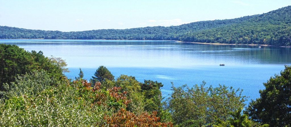
Recently we have received several inquiries about the water level in the Reservoir. The Authority’s engineering consultants for the construction work at Round Valley have determined that the water level during construction on the three embankments should remain at or below elevation 360 to ensure dam safety during construction. Therefore, we expect to maintain the Reservoir at the current water level (approximately elevation 360) for the duration of construction. If conditions require releases for water supply needs, the Reservoir may have to be lowered further. Current Reservoir water level data is available on the Authority’s main website here. We are working to minimize disruption to the public’s use of the Reservoir as we undertake this critical infrastructure project. Pumping to refill the reservoir will begin once the construction has been completed.
Here’s the latest on what’s happening at each of the Reservoir’s three dams.
Major earthwork is nearing completion at the Dike (the dam crossed by County Route 629). When the earthwork is complete, permanent instrumentation will be installed that will allow the Authority to remotely monitor the Dike’s condition. Topsoil and grass seed will be installed over all disturbed areas to establish good grass cover for erosion protection.
At the North Dam (the dam that faces Lebanon Borough), placement of pipe, filter materials and earth fill is ongoing. Large piles of fill and filter materials are visible from Old Mountain Rd – they practically look like mountains themselves! Each layer of filter material that is placed into the dam is compacted and inspected thoroughly before work moves on.
Large piles of fill and filter materials are shown; if you look closely you can see a large earthmoving piece of equipment on the leftmost pile (red circle), for scale.
A muddy looking pond is shown in the foreground. Don’t worry, it’s supposed to look like that – it’s actually a constructed sediment basin doing its job. Sediment basins help to control soil erosion during construction by allowing sediment to “settle out”. Water is discharged slowly from the pond’s surface where the water is the clearest. This is accomplished by having the water flow through a pipe that floats on the surface (yellow circle).
A temporary floating barge has been anchored near the South Dam (the dam that faces Molasses Hill Road). The barge is located in the Reservoir near the Dam, and will support SCUBA divers undertaking underwater pipe work. The divers will be working in 130’ of water, and accordingly, a decompression tank and large backup oxygen tank will be kept nearby for their safety. The barge was assembled at the public boat launch and some equipment will remain there for the next few months while the work occurs. Boaters should avoid the area of the barge.
The barge was delivered in four pieces on a large truck, and assembled using a crane at the public boat launch.
Members of the diving team prepare to start work. The South Dam tower and dam can be seen in the background.
A diver enters the water where he will be working at a depth of 130’.
A member of the team monitors the diver as he works underwater, by radio and by video.